

Bukit Merah
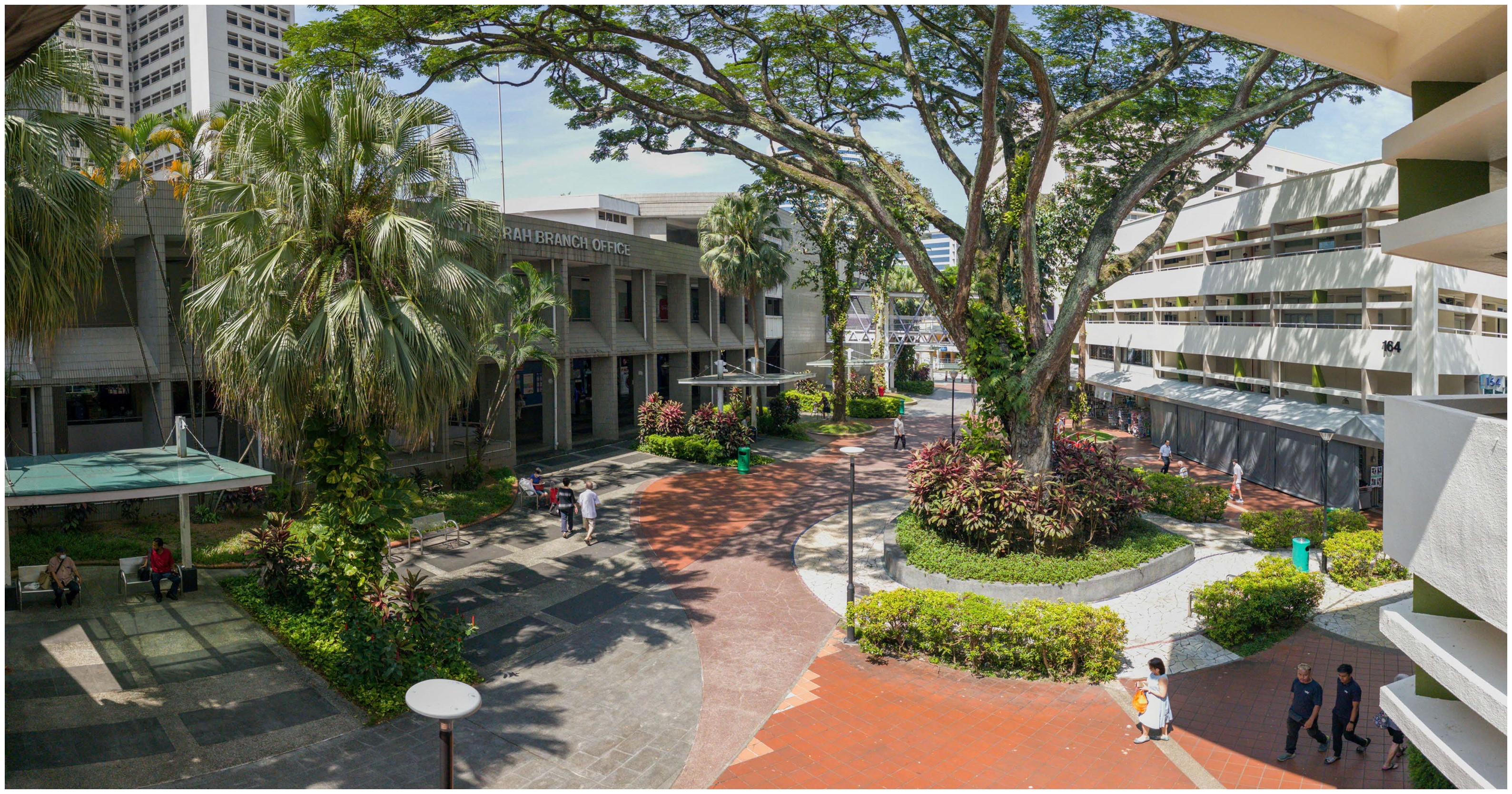
Image: Housing & Development Board (HDB)
Located in Singapore’s central region, Bukit Merah includes two islands — Pulau Brani and Keppel Island — that are connected to the mainland by road.
Bukit Merah ("red hill" in Malay) was named after the red soil uncovered when the area was excavated in the 1950s. Its Hokkien name "ang suah" also refers to "red hill".
Bukit Merah's rich history spans from industrial roots to iconic landmarks. The site of today’s Bukit Merah Town Centre and bus interchange was once known as Bee Hoon Plain, as early Hokkien immigrants used to dry bee hoon (Chinese rice noodles) they made in that area back in the 1920s. War hero Lim Bo Seng’s father used to own a brick factory in the Bukit Merah area in the 1920s.
By the 1950s and 1960s, government flats had replaced many of the traditional villages. Nearby areas like Redhill, Henderson, and Tanglin Halt evolved into industrial hubs hosting factories in sectors such as glass, liquor, food, garments, and perfumes. #Doyouknow that in 1975, Bukit Merah was even used as a decentralised National Day Parade site, where contingents of army, navy, air force, police and other uniform groups and unions assembled and marched on a big open field at Redhill.
Bukit Merah is where heritage meets heart, blending its rich history with modern enhancements for a vibrant future.
Upcoming renewal plans include senior-friendly upgrades such as sheltered walkways, ramps, non-slip flooring, and seating areas. New pedestrian and cycling paths, as well as sheltered linkways, will be added along Redhill Close, improving connectivity between the Bukit Merah Town Centre and Redhill MRT station. Keppel and Cantonment MRT stations on the Circle Line are set to open in 2026, providing easier access to areas such as Spottiswoode, Keppel Road and the southern edge of the central business district.